

8 Světlá – Kasárne
- 7.3 kmlength
- 421 mclimb
- 83 mdescent
- 1:35 hpenalty
Surface: 30% asphalt, 20% forest track, 50% trail
Elevation profile
0
1
2
3
4
5
6
7 km
Start
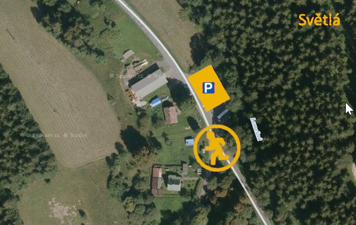
P8 Světlá
Světlá (Velké Karlovice) 49.3479767N, 18.3689822E
Finish
P9 Kasárne
Kasárne 49.3271775N, 18.3816800E
Runner's route
From the start follow an asphalt road that turns into a forest track, on the yellow marked trail, for 3 km of steady climbing,
then turn right onto the red trail and continue for 3.7 km.
At the junction with the green trail turn right; the finish is after a 600 m descent.
Route map


Route on the map
open on mapy.com
Parking at the finish
By car from the previous handover 3.9 km, about 7 minutes.
Download the stage card (PDF, in Czech) Download GPX
It's best to print the card from the downloaded PDF – it is laid out for two A4 pages.
