

15 Popov – Rokytnice
- 11.2 kmlength
- 208 mclimb
- 185 mdescent
- 1:58 hpenalty
Surface: 100% asphalt
Elevation profile
0
2
4
6
8
10 km
Start
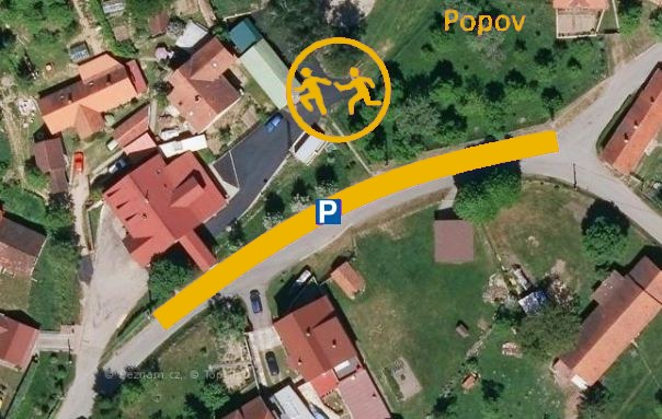
P15 Popov
Popov, 49.0824411N, 17.9709131E
Finish
P16 Rokytnice
Rokytnice, municipal office, 49.0667764N, 17.9162406E
Runner's route
From the start 1.8 km along the road towards Štítná nad Vláří, then, before the bus stop and
the COOP shop, turn right.
Then a gentle, long climb on asphalt for 5.5 km
to the village of Kochavec.
At the junction with the main road turn sharp right.
Continue 3.8 km along the road to the finish at the municipal office in Rokytnice.
Route map


Route on the map
open on mapy.com
Parking at the finish
By car from the previous handover 6.6 km, about 8 minutes.
Download the stage card (PDF, in Czech) Download GPX
It's best to print the card from the downloaded PDF – it is laid out for two A4 pages.
