

1 Dolní Lomná – Horní Lomná
- 10.6 kmlength
- 248 mclimb
- 101 mdescent
- 1:52 hpenalty
Surface: 70% asphalt, 30% forest track
Elevation profile
0
2
4
6
8
10 km
Start
P1 Dolní Lomná
Dolní Lomná, U viaduktu campsite, 49.5554500N, 18.7335361E
Finish
P2 Horní Lomná
Horní Lomná, football pitch, 49.5294881N, 18.6387986E
Runner's route
From the start, 2.2 km through the valley into a gentle climb, mostly on the cycle path, then a 2.3 km climb on the blue marked trail. Then continue down the same path (no longer on the blue marked trail). 1.5 km descent back into the valley. Then turn right and continue along the cycle path and later the road on a gentle 4.9 km climb to the finish.
Route map
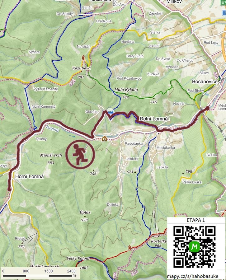

Route on the map
open on mapy.com
Parking at the finish
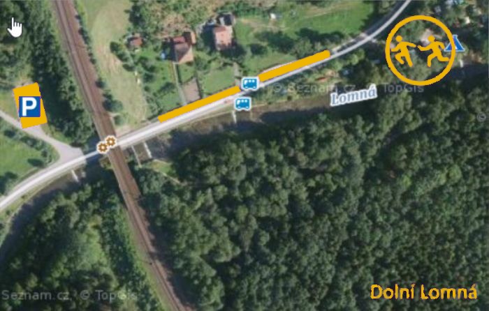
By car from the previous handover 9.2 km, about 14 minutes.
Download the stage card (PDF, in Czech) Download GPX
It's best to print the card from the downloaded PDF – it is laid out for two A4 pages.
