
3 Morávka – Visalaje
- 6.9 kmlength
- 259 mclimb
- 0 mdescent
- 1:17 hpenalty
Surface: 100% asphalt
Elevation profile
0
1
2
3
4
5
6 km
Start
P3 Morávka
Morávka, Úspolka car park, 49.5612047N, 18.5505747E
Finish
P4 Visalaje
Visalaje, car park, 49.5177819N, 18.5284303E
Runner's route
Follow the road upstream along the Morávka river for 3.5 km, then turn right along Rykalí potok on
cycle route No. 6113. The whole stage follows this cycle route.
The last 500 metres also follow the green marked trail.
WATCH OUT for the car transfer – !!! 21 km, 40 min !!!
For time reasons, the runner of stage 4 should travel to the Visalaje handover
in the second car.
Route map
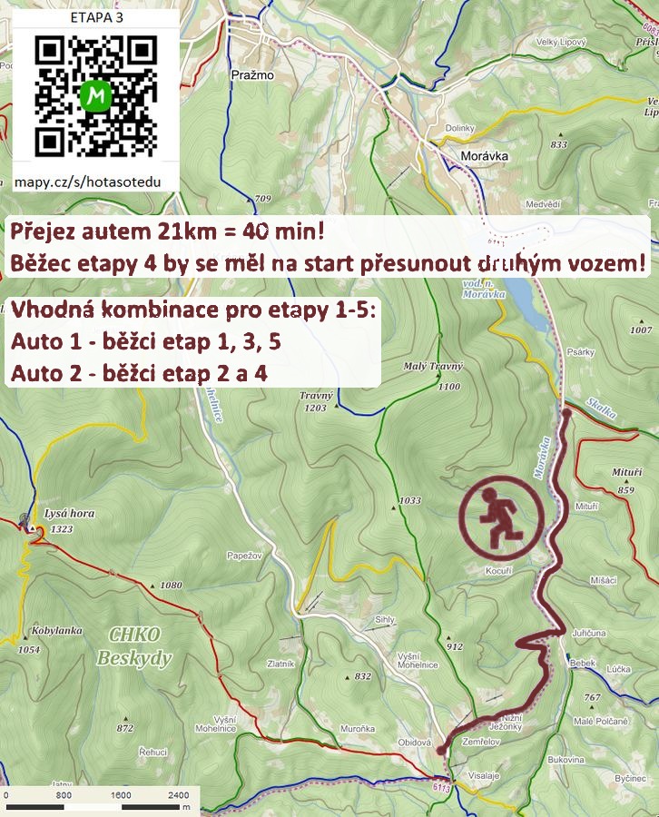

Route on the map
open on mapy.com
Parking at the finish
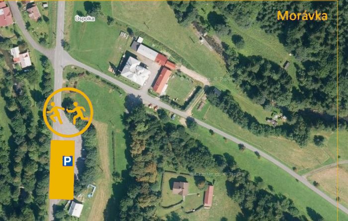
By car from the previous handover 21 km, about 40 minutes.
Download the stage card (PDF, in Czech) Download GPX
It's best to print the card from the downloaded PDF – it is laid out for two A4 pages.
