

4 Visalaje – Staré Hamry-Grúň
- 7.3 kmlength
- 192 mclimb
- 148 mdescent
- 1:20 hpenalty
Surface: 40% asphalt, 60% trail
Elevation profile
0
1
2
3
4
5
6
7 km
Start
P4 Visalaje
Visalaje, car park, 49.5177819N, 18.5284303E
Finish
P5 Staré Hamry-Grúň
Staré Hamry, upper car park, SKI park Gruň, 49.4859372N, 18.4776239E
Runner's route
400 m after the start, go straight on at the trail junction – the trail changes to
blue. After 1.7 km on the ridge, turn sharp right onto the yellow marked trail.
Continue along the ridge on the yellow trail for 5.2 km to the finish.
WATCH OUT for the car transfer – !!! 49 km, 63 min !!!
For time reasons, the runner of stage 5 should travel to the Staré Hamry handover,
upper car park of SKI park Gruň, in the second car.
Route map
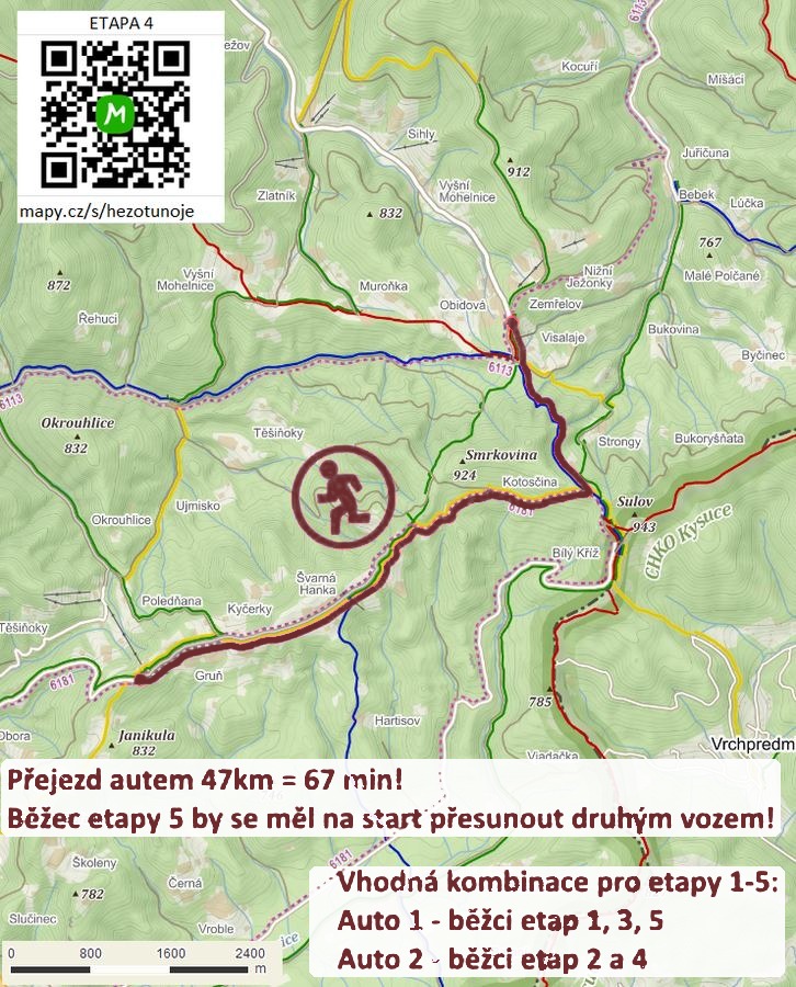

Route on the map
open on mapy.com
Parking at the finish
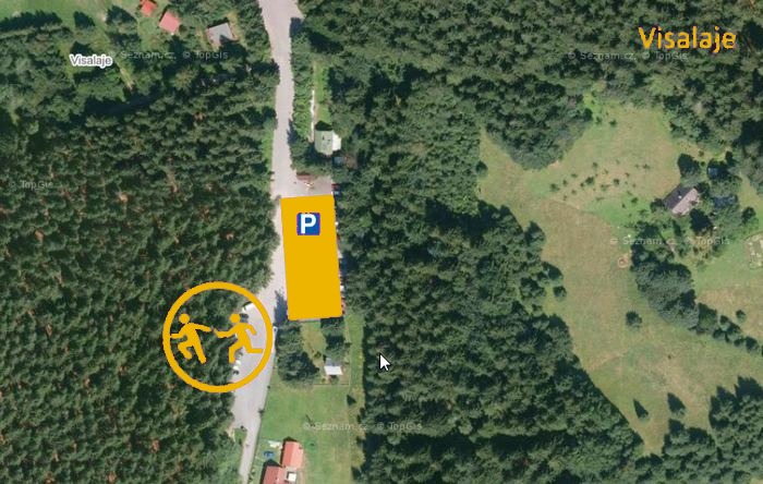
By car from the previous handover 49.1 km, about 63 minutes.
Download the stage card (PDF, in Czech) Download GPX
It's best to print the card from the downloaded PDF – it is laid out for two A4 pages.
