

19 Mikulčin vrch – Horní Němčí
- 12.7 kmlength
- 190 mclimb
- 349 mdescent
- 2:22 hpenalty
Surface: 25% asphalt, 75% trail
Elevation profile
0
2
4
6
8
10
12 km
Start
P19 Mikulčin vrch
Mikulčin vrch, 48.9498192N, 17.8014039E
Finish
P20 Horní Němčí
Horní Němčí - Javořina junction, 48.9137661N, 17.6617256E
Runner's route
After 1 km turn left into a steep descent. At 2.1 km turn right, after 200 m
left. Then follow the red marked trail to the finish.
The whole route follows the red trail.
WATCH OUT FOR THE TURN!
Between 8.1 km and 8.6 km you run 500 m downhill on the road; after a left-hand bend the route turns right, back into the forest.
Route map
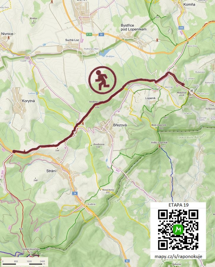

Route on the map
open on mapy.com
Parking at the finish
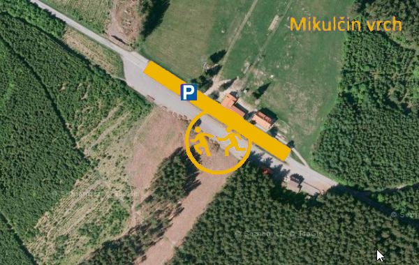
By car from the previous handover 16.5 km, about 24 minutes.
Download the stage card (PDF, in Czech) Download GPX
It's best to print the card from the downloaded PDF – it is laid out for two A4 pages.
