

24 Sudoměřice – Hodonín
- 12.7 kmlength
- 7 mclimb
- 31 mdescent
- 2:11 hpenalty
Surface: 40% asphalt, 60% forest and field tracks
Elevation profile
0
2
4
6
8
10
12 km
Start
P24 Sudoměřice
Sudoměřice, 48.8643533N, 17.2559186E
Finish
P25 Hodonín
Hodonín, Na Salajce, 48.8437192N, 17.1200578E
Runner's route
From the start follow the Strážnice cycle route for 1.4 km, cross the railway and turn left after it. Continue on the cycle route for 2.4 km to the Skalica marina.
Then continue straight on for 7.4 km along the Skalica cycle route by the river.
When you reach road 51, cross the bridge to the right and right after the bridge turn left onto a field track.
After 400 m turn right along the allotments and run 1 km to the finish.
Route map


Route on the map
open on mapy.com
Parking at the finish
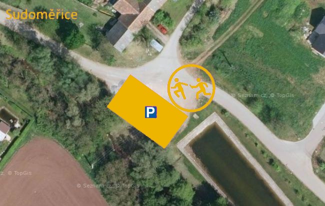
By car from the previous handover 14.7 km, about 19 minutes.
Download the stage card (PDF, in Czech) Download GPX
It's best to print the card from the downloaded PDF – it is laid out for two A4 pages.
