

12 Pulčín – Študlov
- 10.3 kmlength
- 217 mclimb
- 355 mdescent
- 1:51 hpenalty
Surface: 80% asphalt, 20% forest track
Elevation profile
0
2
4
6
8
10 km
Start
P12 Pulčín
Pulčín, 49.2199331N, 18.0768194E
Finish
P13 Študlov
Študlov, bus terminus, 49.1585350N, 18.0861778E
Runner's route
Follow the red marked trail towards Francova Lhota. After 3 km – on the slope above the village – keep following
the red trail (it leaves the gravel road for 250 metres). Down in the village, before the stream, turn
left. Run through Francova Lhota, still on the red trail. Then continue on the red
trail over the ridge to Střelná.
Down in the village turn right and after 200 m left – through the whole of
Střelná, still on the red trail. 600 metres past the village leave the red trail and continue along the road over a long low hill for 1.5 km.
Down in the village turn left on the main road and run to the bus terminus.
Route map
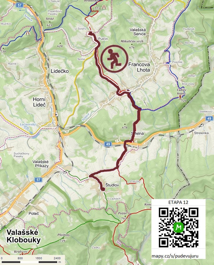

Route on the map
open on mapy.com
Parking at the finish
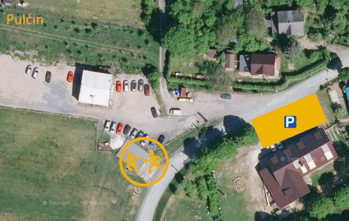
By car from the previous handover 11.3 km, about 18 minutes.
Download the stage card (PDF, in Czech) Download GPX
It's best to print the card from the downloaded PDF – it is laid out for two A4 pages.
